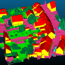
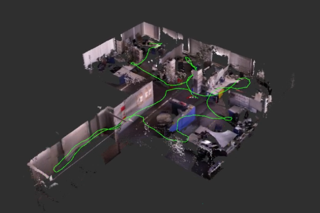
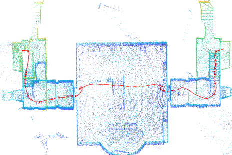
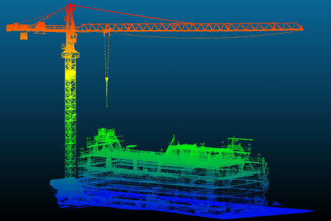
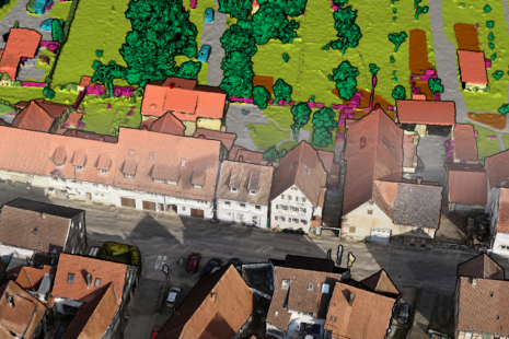
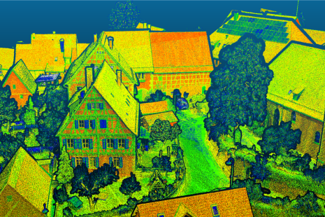
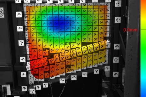
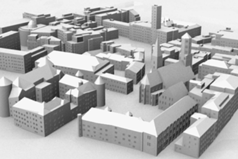
The fields of expertise of the Institute of Photogrammetry (ifp) cover the collection and the update of topographic data for Geographic Information Systems (GIS), the collection of environmental parameters (e.g., land coverage, water pollution, soil erosion) as well as 3D-measurement of objects in industry, urban planning, architecture, archeology and other subjects. We deal with data sources like imaging sensors i.e., optical cameras and laserscanners of various kinds, which operate at different scales starting from close range terrestrial sensors to devices carried by UAV or planes up to satellites. We cover the entire workflow from sensor calibration to precision measurement up to semantic interpretation by means of automated image analysis and pattern recognition.
Contact

Norbert Haala
apl. Prof. Dr.-Ing.Deputy Director


