The scientific discipline Geoinformatics describes how spatial data (geodata, geoinformation, spatial information) can be collected, managed, analysed, and presented. It is a sub-discipline of applied computer science and the scientific basis for Geographical Information Systems (GIS). Application in Geoinformatics are related to spatial questions and therefore give answers to the question “Where?”.
The following fields are in the focus of the research activities of the Institute for Photogrammetry:
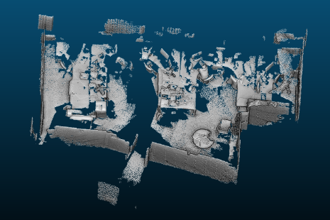
- Matching and Integration of multiple collected Geodata
- Crowd-based Geodata Collection
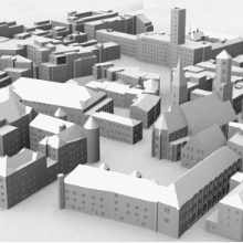
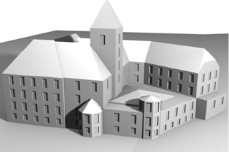
- Grammar-based Reconstruction of Buildings and City Models
- Quality Evaluation of Geodata
- Hybrid 3D Geographical Information Systems
- Visual Computing
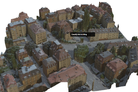
- Automatic Interpretation of Spatial Data


David Collmar
M.Sc.Head of Research Group Geoinformatics