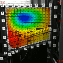
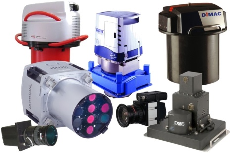
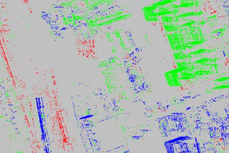
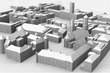
The main areas of research in the field of photogrammetry and computer vision are camera calibration, integrated georeferencing, and image based high precision 3D surface reconstruction of objects at various scales for the collection of geo-data or industrial applications. Activities in remote sensing cover laser scanning from airborne and terrestrial platforms, SAR-interferometry, analysis of multi- and hyperspectral images, and a special emphasis on semantic segmentation and interpretation of remote sensing data. In geoinformatics, research is focused on the automatic procedures for map interpretation, modelling and generating of multiple representations, hybrid geoinformation systems.
Benchmarks
- Hessigheim 3D - H3D
Benchmark on Semantic Segmentation of High-Resolution 3D Point Clouds and Meshes - ISPRS-EuroSDR Benchmark
ISPRS-EuroSDR Benchmark on High Density Aerial Image Matching
Contact

Uwe Sörgel
Prof. Dr.-Ing.Director of the Institute

Norbert Haala
apl. Prof. Dr.-Ing.Deputy Director


