Penghua LI
Evaluation and Improvement of a Dual-channel Method for Detection and Quantification of High-temperature Events Based on FireBIRD Data
Duration of the Thesis: 6 months
Completion: December 2017
Supervisor & Examiner: Prof. Dr.-Ing. Uwe Sörgel
Introduction
High-temperature events, such as fire hazards and volcanic eruptions, occur all over the world and influent the Earth’s environment on global to local scales.
However, the lack of practical monitoring and understanding of the high-temperature hazards leads a number of problems. The FireBIRD mission of DLR aims to an effective monitoring and fully understanding of such events. In this thesis, a competitive method called MITIP for detection and quantification of high-temperature events is introduced. It provides surface temperature and radiance maps and high-temperature events monitoring products using FireBIRD data. A fully investigation and evaluation of its performance are implemented and an improvement of the MITIP method is also included.
Methodology and Results
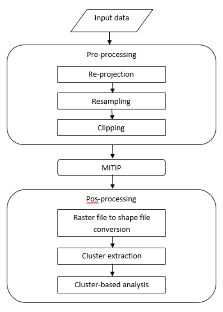
Figure 1 outlines the proposed methodology. The input data is:
- FireBIRD data;
- MODIS water vapor file;
- ASTER Global Elevation Map;
- ASTER Elevation Database.
The products are:
- Atmospheric correction results;
- High-temperature events monitoring products;
- Cluster-based analysis results;
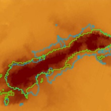
Following figure shows the outputs of applying above methodology to the data of Bardargunga, a subglacial stratovolcano located in Iceland.
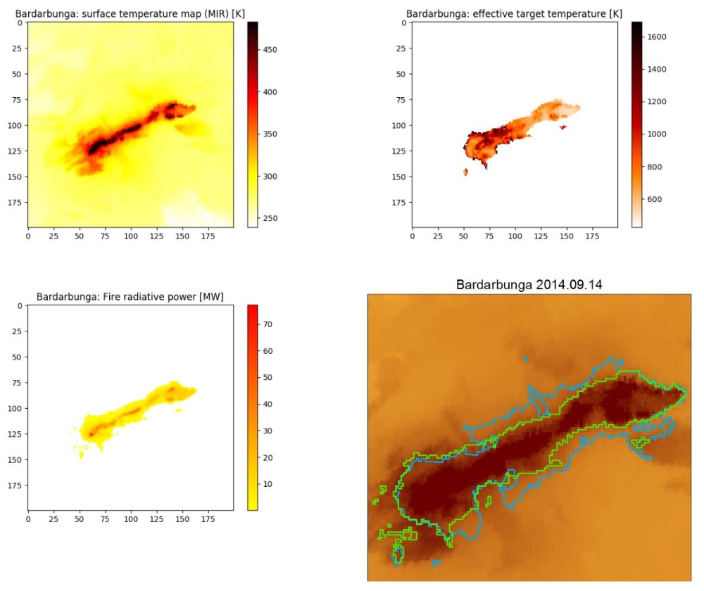
The processing procedure also gives the quantitative information about the high-temperature events so that the statistics characteristics of these hazards can be derived as well.
G. Administration Part
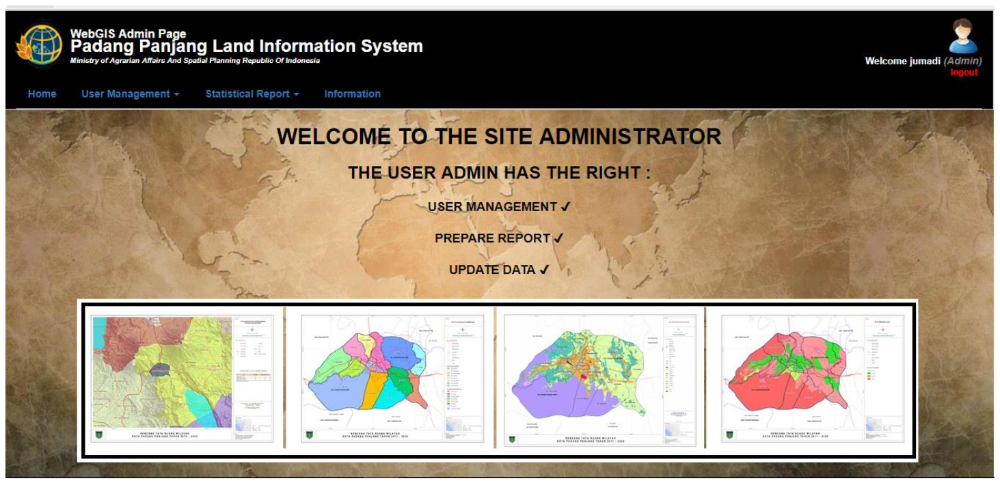
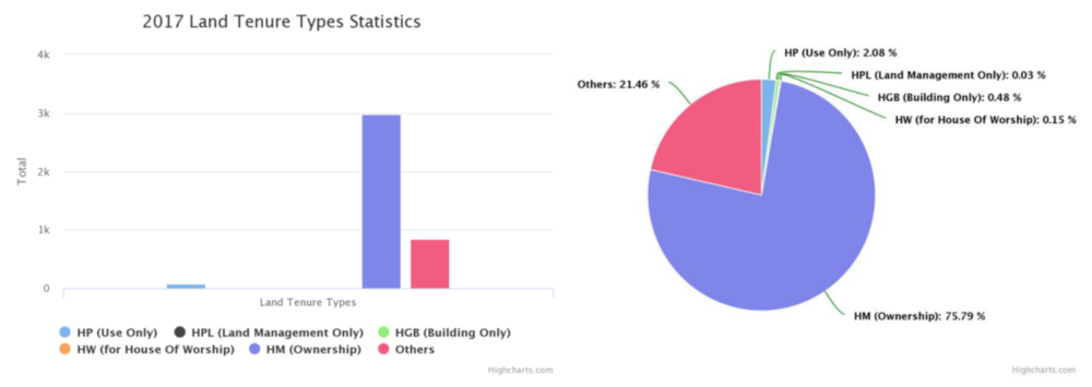
In Administration part, there are some facilities which are provided for the administrator to check the list of the user, create new user, and geo statistical data report. The administration part can be seen in figure 11 and 12 below.
Conclusions
- There is a growing need of WebGIS cadastral/land information as a tool for legal, administrative, economic and decision making.
- QGIS, GeoServer, PostgreSQL/PostGIS, LeafletJS work optimal for developing WebGIS application
- Leaflet provides a lot of Plugins (GIS power)
- Interactive map application is the key of Cadastral web application
- Spatial analysis tools is a power of WebGIS
- Security login is needed since the data is sensitive
Ansprechpartner

Volker Walter
Dr.-Ing.Gruppenleiter Geoinformatik