Yasin Shafaghi
A Geosocial Network for Refugees in Germany
Duration of the Thesis: 6 months
Completion: September 2017
Supervisor: Dr.-Ing. Volker Walter, Prof. Xiaohua Tong
Examiner & supervisor: Prof. Dr.-Ing. Uwe Sörgel
Introduction
The huge number of immigrations to Europe since the year 2011 led to a dramatic situation so called Refugee Crisis. Both refugees and the host societies have been encountering a lot of problems such as integration, organization, poverty, etc. Although the research has been active in the term of refugees, studying dedicated geosocial services to offer more social support and connect refugees and volunteers of helping together seems to be a gap.
Questioning the possibility of providing such service to overcome or at least help the current situation, led us to investigating the concept of "A Geosocial Network for Refugees in Germany" as the topic of this thesis. To evaluate this idea, we implemented a web-based GIS application called ForRefugees and uploaded it on the Internet under the domain for-refugees.de which is now accessible worldwide.
Objectives
- Provide a web-based platform for connecting refugees and volunteers for help based on the distance; i.e. add a sense of location to a unique social network for supporting refugees in the new societies using a distance-based recommender system.
- Evaluate the application of GSNs in management of a special case of ongoing humanity crisis so called refugee-crisis. The characteristics and methodology for implementing such application is discussed.
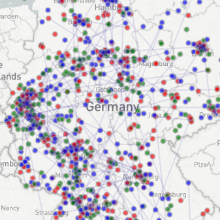
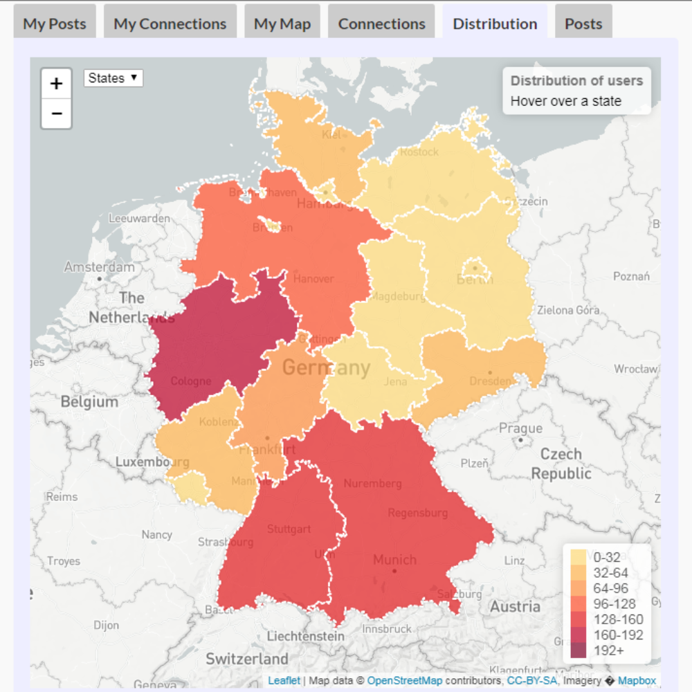
- Visualize the geographic information for administrative purposes to analyze the distribution, connections’ network and subsequently a trace of behavior of the users, using a set of random generated data for testing the performance.
Methodology
For developing a web-based application, several approaches have been introduced which use different combinations of methods, tools and programming languages. In our approach we tried to choose open source applications which are compatible with each other with available documentations online. We ended up with a set of applications and programming languages for each part of the project as below.
Database: PostgreSQL and PostGIS
Graphical User Interface: HTML, CSS, JavaScript, AngularJS and Leaflet
GIS: PHP, GeoJSON, Google Maps API, JavaScript, PostGIS and LeafLet

Conclusions
In this thesis we tried to find out how a geosocial network can provide services to assist solving a humanitarian crisis in Europe and in our case study in Germany, by highlighting important issues such as problem’s definition, implementation methods, challenges and restrictions, and practical scenarios in real life. ForRefugees as a starting sample has been beneficial for demonstration of these issues and is expected to be improved enough to provide refugees in Germany with a practical support
Ansprechpartner

Volker Walter
Dr.-Ing.Gruppenleiter Geoinformatik