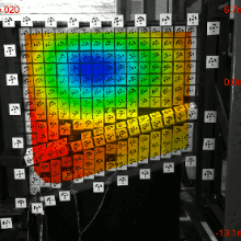
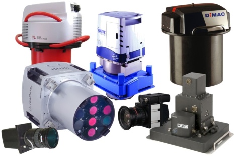
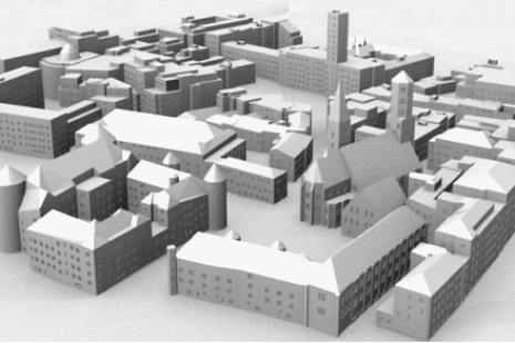
Research
Homepage

Research

Research Topics

Geoinformatics

Terrestrial Positioning Systems and Computer Vision

Photogrammetry and Remote Sensing

Photogrammetric test site Vaihingen/Enz

Gallery


Research at the Institute for Photogrammetry focuses on the application of different imaging sensors for the collection of spatial data and the subsequent analysis, interpretation and visualisation of this data. Areas of interest cover topics like digital photogrammetric systems, terrestrial and airborne laser scanning, sensor fusion for automatic GIS-data capture, computer vision, terrestrial positioning systems and the collection and visualisation of virtual city and landscape models.


Rectification of image distortions resulting from the movement of the pushbroom camera during image collection. Camera position and orientation is directly measured by an integrated GPS/inertial system

Rectification of image distortions resulting from the movement of the pushbroom camera during image collection. Camera position and orientation is directly measured by an integrated GPS/inertial system

As a first step of photogrammetric image analysis, the position and orientation of the camera or any other mapping sensor at the time of exposure has to be determined. For this purpose, an integrated GPS/inertial measurement systems can be applied in order to directly measure the required parameters. Originally, this so-called direct georeferencing was triggered during the development of digital airborne pushbroom cameras. While integrated GPS/inertial measurement is mandatory for these systems, this technique is now generally accepted as a standard tool.

Digital Surface Model measured by airborne laser scanning

Digital Surface Model measured by airborne laser scanning

In addition to digital image collection, airborne laser scanning are a data source of considerable interest for photogrammetric applications. This technique allows the collection of three-dimensional points using the run-time measurement of reflected laser pulses. By these means, dense and accurate Digital Surface Models can be generated, which provide an important data base for the collection of virtual 3D city models. This type of information can also be integrated in approaches aiming at the classification of multi-spectral images for GIS data collection and update.

Virtual city model of Stuttgart

Virtual city model of Stuttgart

Virtual city models have become a standard product to be provided by photogrammetric processing. The demand for these models has increased considerably, since real-time visualization of urban landscapes is now feasible with standard systems due to the availability of powerful hard- and software tools originally developed in the computer game industry. These visualizations are more and more used for applications in architecture, city planning and tourism. Additionally, virtual urban environments are integrated in navigation systems and location based applications. Realistic visualizations require a detailed geometric description of topographic objects, i.e. buildings and of the terrain surface. Additionally, surface texture has to be made available using spaceborne, airborne and terrestrial images. This resulting huge amount of data has to be reduced considerably in order to allow for real-time visualizations. One option is the representation of objects in the background of a virtual scene by simplified models. Since different levels of detail are generated for each object in a pre-preprocessing step, the optimal level of detail can then be selected during animated visualization. This allows a significant reduction of data at a minimum loss of visual quality.

Automatic update based on multispectral arial image (top left) and existing GIS data (top right). Result of automatic classification (bottom left) and obsolete GIS-objects (bottom right)
Another topic of growing interest is the development of tools for the update of already existing GIS data sets. As it is demonstrated in a fully automatic process, this GIS data can be used as an additional source of information in order to support the interpretation of actual remote sensing imagery. Within the approach, existing ATKIS data, which covers object classes like residential, agricultural and forest areas or streets, provides training areas for the classification of multi-spectral aerial images. By matching the classification result against the existing data base obsolete objects are detected, which then have to be updated in a following step.

High-resolution terrestrial laserscan of a historical building

High-resolution terrestrial laserscan of a historical building

Further research aims on the application of terrestrial laser scanning and terrestrial photogrammetry for cultural heritage documentation. For industrial applications a software system based on a coded light approach was developed for dense surface measurement. Additionally, approaches on real-time positioning in urban environments are developed in order to support location based services for mobile users.